
Navigating the Irrigation Maze: Unearthing Challenges and Growth
Table of Contents
Embarking on the Journey
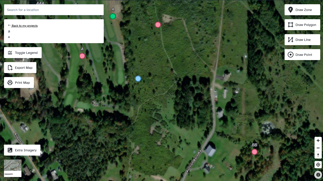
Join me in unearthing the saga of Irriplans.com, where mapping meets irrigation in a dance of technology and innovation. This mapping marvel, tailored for irrigation aficionados, boasts a star feature – a map-drawing tool that’s the backbone of the experience.
Imagine this: clients traversing a digital landscape powered by the enchanting MapLibreGL JS (minus the complexity of Mapbox’s hush-hush antics), weaving their irrigation dreams onto the canvas. And that’s not all – these water wranglers can seamlessly print and share their aquatic creations with clients. A true harmony of form and function!
Tackling the Tempests
Ahoy, matey! Prepare to navigate through coding conundrums as we dive into the technical trenches of this venture. The grand challenge that loomed before us? The marriage of a real-time database (Firestore) with the enigmatic MapLibre. Sounds simple, right? Not quite, for Firestore’s array limitations put a damper on our parade.
Our ingenious solution? Forging custom data models and invoking Firestore’s withConverter incantations to elegantly mold the data. A true alchemy of tech and creativity!
But wait, there’s more! The tumultuous waters of React and its virtual DOM added another layer of complexity. Enter MapLibre, needing to directly manipulate the DOM. It was a true tango of technologies, requiring some crafty ref choreography and a few missteps along the way.
Gaining Insights
As we sailed through this venture, I gathered a treasure trove of insights. Mastering the intricacies of MapLibre was a journey through a cartographer’s wonderland. Custom events and layer styling wove a tapestry of GeoJSON finesse. And let’s not forget the dance of custom map controls, which I finessed into harmony with Svelte’s portal magic.
Ah, React – a worthy adversary in this tale. Yet, I emerged victorious, having learned to navigate the React waters with MapLibre’s compass.
Concluding the Expedition
As we bid adieu to this chapter, reflections abound. The journey through Irriplans took me back to my cartographic roots, sparking a rekindling of my GIS prowess and a nostalgic return to Firebase’s embrace. This was an expedition where I bridged the waters of innovation and legacy.
So here’s to the irrigation dreamers, the mapping maestros, and the code captains who braved the tides. The journey may have been challenging, but it’s the challenges that fertilize our growth in the evergreen fields of technology.